Lukasz Warzecha/Västsverige.com
Stensjön - Skatås
- Length
- 9 km
- Degree of difficulty
- Blue
- Estimated time
- 3h
Stages 2-6 are part of the Swedish Tourist Association's "Signature Trail Gothenburg", which is particularly beautiful, selected and quality assured through the Swedish Tourist Association.
Section 2 of the Bohusleden trail runs between Lake Stensjön in the District of Mölndal and Skatås, a large recreation area in Göteborg.
Just north of Lake Stensjön the trail passes the lake Norra Långevattnet. There is a lovely picnic spot here, with a beautiful view across the lake. The section then carries on towards Delsjön Nature Reserve, one of the largest and most centrally located countryside areas in Göteborg. At Delsjön, in addition to the Trail, there are also opportunities to take a canoe trip and swim from the beach or from the surrounding cliffs. There is a running track, a café and toilets at Skatås.
Large parts of this section run along even surfaced woodland paths and is of easy to medium difficulty with a couple of shorter, slightly steeper parts.
Surface: This section of the trail is a mix of dirt road, forest path and a little bit of asphalt road.
Time: It takes about 3 hours to walk this section
Do not miss: A visit to the castle Stora Torp and a stop for coffee in Skatås
How to get here: At Stensjön there is a parking space and just north of the start of the section there is bus stop called Kristinedal. A short distance from Skatås is the stop Welandersgatan, for both bus and tram.
For more information about how to get to the section, please see the map planning tool and select transport.
Accommodation: For suggestions on accommodation, please see the map planning tool and select accommodation,.
9 km
Degree of difficulty
About Difficulty Grading
The grading is tailored for Swedish lowland trails that adhere to the quality criteria established by the national framework for hiking trails.
Even and firm ground: The terrain is generally flat. The hike requires no need to use your hands for support. No obstacles. Bridges are always present when crossing waterways.
Uneven and/or soft ground: Some changes in elevation. Certain sections may require hand support to maintain balance. There may be obstacles such as low stiles and short stairs. Minor obstacles like stones and roots. Boardwalks are present.
Loose or slippery ground combined with steep sections: Technical parts require hand support. There may be obstacles such as high stiles and longer stairs. Frequent sections with stones and/or roots. Boardwalks with deeper surrounding water.
Note: One or more of these features may be present along the trail section.
Blue
3h
- Badplats
- Naturreservat
- Rastplats
- Tätortsnära
- Vandringsled
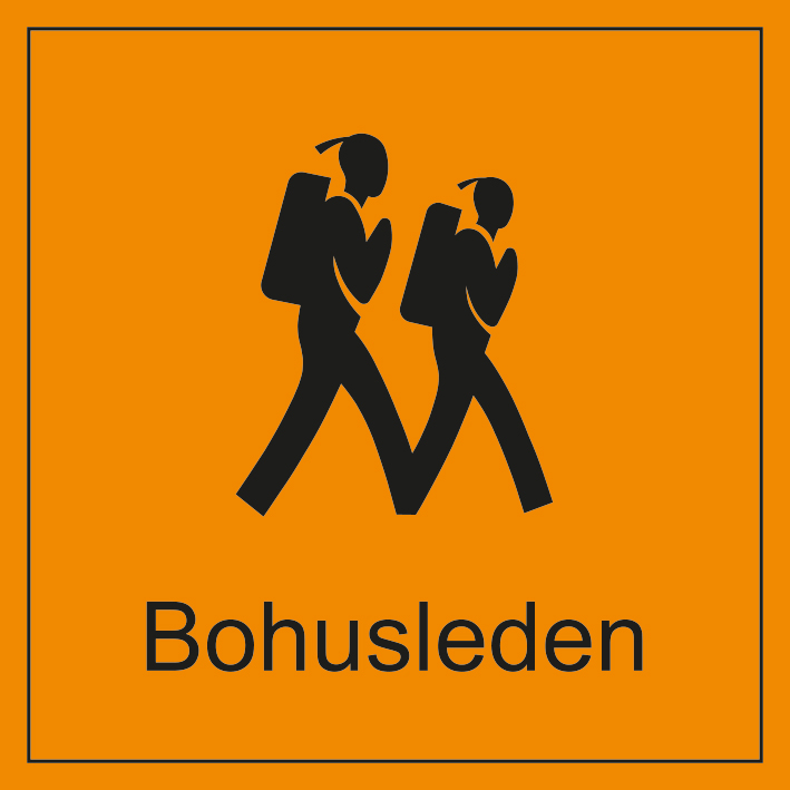
- Bohusleden
- Signaturled Göteborg
- Tätortsnära
- Naturreservat
- Badplats
- Rastplats
- Vandringsled
- Bohusleden
- Signaturled Göteborg
- Tätortsnära
- Naturreservat
- Badplats
- Rastplats
- Vandringsled
- Bohusleden
- Signaturled Göteborg
- Tätortsnära
- Naturreservat
- Badplats
- Rastplats
- Vandringsled
- Bohusleden
- Signaturled Göteborg
- Tätortsnära
- Naturreservat
- Badplats
- Rastplats
- Vandringsled
- Bohusleden
- Signaturled Göteborg
- Tätortsnära
- Naturreservat
- Badplats
- Rastplats
- Vandringsled
- Bohusleden
- Signaturled Göteborg
- Tätortsnära
- Naturreservat
- Badplats
- Rastplats
- Vandringsled
- Bohusleden
- Signaturled Göteborg
- Tätortsnära
- Naturreservat
- Badplats
- Rastplats
- Vandringsled
- Bohusleden
- Signaturled Göteborg
- Tätortsnära
- Naturreservat
- Badplats
- Rastplats
- Vandringsled
- Bohusleden
- Signaturled Göteborg
- Tätortsnära
- Naturreservat
- Badplats
- Rastplats
- Vandringsled
- Bohusleden
- Signaturled Göteborg
- Tätortsnära
- Naturreservat
- Badplats
- Rastplats
- Vandringsled
- Bohusleden
- Signaturled Göteborg
- Tätortsnära
- Naturreservat
- Badplats
- Rastplats
- Vandringsled
- Bohusleden
- Signaturled Göteborg
- Tätortsnära
- Naturreservat
- Badplats
- Rastplats
- Vandringsled
- Bohusleden
- Signaturled Göteborg
- Tätortsnära
- Naturreservat
- Badplats
- Rastplats
- Vandringsled
- Bohusleden
- Signaturled Göteborg
- Tätortsnära
- Naturreservat
- Badplats
- Rastplats
- Vandringsled
- Bohusleden
- Signaturled Göteborg
- Tätortsnära
- Naturreservat
- Badplats
- Rastplats
- Vandringsled
- Bohusleden
- Signaturled Göteborg
- Tätortsnära
- Naturreservat
- Badplats
- Rastplats
- Vandringsled
- Bohusleden
- Signaturled Göteborg

Highlights along the section
Here are some places that are frequently visited and appreciated by others.